NOAA and its partners have developed a new forecasting tool to simulate how water moves throughout the nation’s rivers and streams, paving the way for the biggest improvement in flood forecasting the country has ever seen. Launched today and run on NOAA’s powerful new Cray XC40 supercomputer, the National Water Model uses data from more than 8,000 U.S. Geological Survey gauges to simulate conditions for 2.7 million locations in the contiguous United States. The model generates hourly forecasts for the entire river network. Previously, NOAA was only able to forecast streamflow for 4,000 locations every few hours.
Sponsored Guest Articles
The Future-Proofed Datacenter: DDC Delivers 85kW Air-Cooled Density for AI and HPC Workloads
At DDC, the global leader in scalable datacenter-to-edge solutions, we are taking an innovative approach to building new and retrofitting legacy datacenters. Today, our patented cabinet technology can be deployed in nearly any environment or facility and….
White Papers
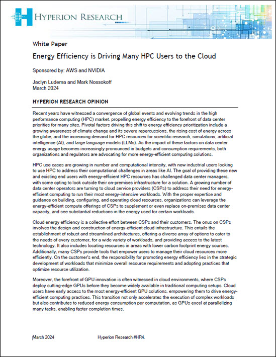
Energy efficiency drives HPC to the cloud
The high-performance computing (HPC) market is witnessing a notable shift towards the cloud, partially driven by the benefits of enhanced energy efficiency. According to Hyperion Research nearly every organization running HPC workloads is either already using or investigating the cloud to accelerate application performance, with the cloud market for HPC workloads forecast to reach $11.5 […]
 Featured RSS Feed
- Why FinOps Needs DataOps ObservabilityIn this special guest feature, Chris Santiago, Vice President/Solutions Engineering, Unravel Data, talks about controlling cloud spend through three phases of the FinOps lifecycle.
 More News from insideBIGDATA
- Nature Communications Publishes Zapata AI Research on Generative AI for Optimization
- The Solution to Data in Motion Is to Just Stop
- What AI Could, Should, and Would Do
- Video Highlights: Gemini Ultra — How to Release an AI Product for Billions of Users — with Google’s Lisa Cohen
- What Happens When We Train AI on AI-Generated Data?
- Where Artificial Intelligence Is Making a Difference in Healthcare
- Heard on the Street – 4/18/2024


