In this Chip Chat podcast, Intel’s Alexei Bastidas describes the technology behind making maps from satellite images. “Good maps rely on good data. The Red Cross’ Missing Maps Project leverages AI to provide governments and aid workers with the tools they need to navigate disasters like hurricanes and floods. Using a wealth of satellite imagery and machine learning, the Missing Maps Project is working to make villages, roads, and bridges more accessible in the wake of devastation.”
Sponsored Guest Articles
Microsoft and NVIDIA Together Advance AI
[SPONSORED GUEST ARTICLE] Think of the Microsoft Azure cloud platform as analogous to a general contractor who brings together the most skilled and knowledgeable artisans, technologically speaking, offering the latest and most powerful advanced AI capabilities. This would include the latest NVIDIA AI hardware….
White Papers
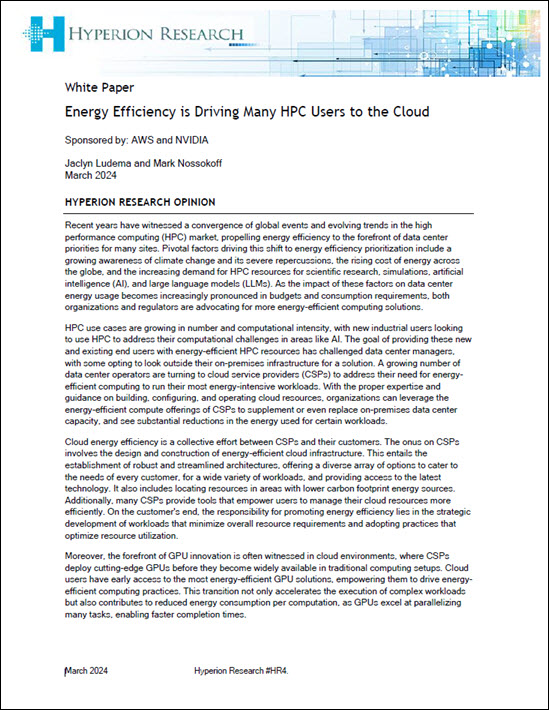
Energy efficiency drives HPC to the cloud
The high-performance computing (HPC) market is witnessing a notable shift towards the cloud, partially driven by the benefits of enhanced energy efficiency. According to Hyperion Research nearly every organization running HPC workloads is either already using or investigating the cloud to accelerate application performance, with the cloud market for HPC workloads forecast to reach $11.5 […]
 Featured RSS Feed
- Why FinOps Needs DataOps ObservabilityIn this special guest feature, Chris Santiago, Vice President/Solutions Engineering, Unravel Data, talks about controlling cloud spend through three phases of the FinOps lifecycle.
 More News from insideBIGDATA
- What Happens When We Train AI on AI-Generated Data?
- Where Artificial Intelligence Is Making a Difference in Healthcare
- Heard on the Street – 4/18/2024
- Vero AI Evaluates 10 Leading Generative AI Models Using Its Comprehensive VIOLET Framework to Gauge Responsible AI
- Avoid these 7 Common Business-related Mistakes On Data Projects
- Why the Modern Data Stack is Broken and How to Fix It
- Why Accelerating Data Engineering Across Public Clouds and Private Data Centers is a Game Changer


