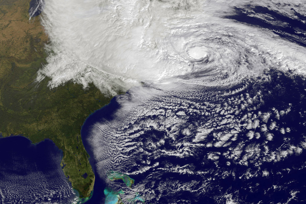
 Over at Computerworld, Patrick Thibodeau writes that much-improved hurricane forecasts will now be possible thanks to NOAA’s new pair of 213-teraflop supercomputers. As part of the Weather and Climate Operational Supercomputing System, NOAA’s National Weather Service runs the two identical systems at different locations with the ability to switch over in approximately six minutes.
These are the systems that are the origin of all the weather forecast you see,” said Ben Kyger, director of central operations at the National Centers for Environmental Prediction.
As part of the new system, NWS is using a new hurricane model called HWRF that is 15% more accurate in day five of a forecast both for forecast track and intensity. With a busy hurricane season coming up, this capability could be a lifesaver.


